|
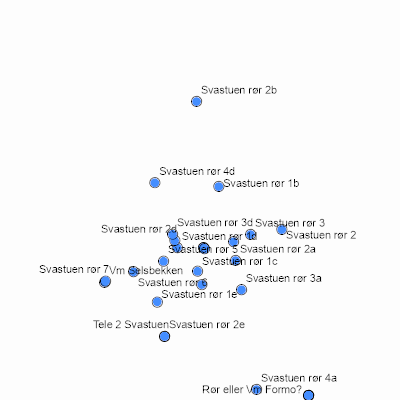
Width: 400 Height: 400 Extent:
YMin: 6865835.412334776 XMax: 213292.54832442236 YMax: 6868390.875802983 Spatial Reference: 25833 (25833) LatestVCSWkid(0) Scale: 24146.063218390886 |
| ArcGIS REST Services Directory | Login |
| Home > services > Mapservices > TidsserieFeltpar (MapServer) > export | Help | API Reference |

|
Width: 400 Height: 400 Extent:
YMin: 6865835.412334776 XMax: 213292.54832442236 YMax: 6868390.875802983 Spatial Reference: 25833 (25833) LatestVCSWkid(0) Scale: 24146.063218390886 |